RNIE 2
| RNIE 2 | |
|---|---|
| Location | |
| Country | Benin |
| Highway system | |
| |
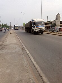
RNIE 2 is a national highway of Benin. It is Benin's main north–south highway which runs the entire 785 km down the centre of the country from the Niger River to Cotonou. The RNIE 2 crosses the RNIE 4 at Bohicon east of Abomey.[1]
Cities and towns
- Parakou
- Cotonou
- Bohicon
- Kassakou
References
- ^ "Les Routes Nationales Inter-Etat (RNIE)". Fonds Routier du Bénin. Archived from the original on 3 September 2014. Retrieved 15 July 2015.
- v
- t
- e
 National highways of Benin
- RNIE 1
- RNIE 2
- RNIE 3
- RNIE 4
- RNIE 5
- RNIE 6
- RNIE 7
 | This Benin-related article is a stub. You can help Wikipedia by expanding it. |
- v
- t
- e
 | This African road or road transport-related article is a stub. You can help Wikipedia by expanding it. |
- v
- t
- e


