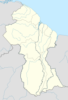
Lumid Pau Airport
Airport


LUB
Location in Guyana
| Direction | Length | Surface | |
|---|---|---|---|
| m | ft | ||
| 12/30 | 1,000 | 3,281 | Grass |
Lumid Pau Airport (IATA: LUB, ICAO: SYLP) is an airport serving the village of Lumid Pau, in the Upper Takutu-Upper Essequibo Region of Guyana.
See also
 Guyana portal
 Aviation portal
- List of airports in Guyana
- Transport in Guyana
References
External links
- OpenStreetMap - Lumid Pau
- OurAirports - Lumid Pau
- HERE/Nokia - Lumid Pau
- SkyVector Aeronautical Charts
- v
- t
- e
Airports in Guyana
- Aishalton
- Annai
- Apoteri
- Awaruwaunau
- Baramita
- Bartica
- Ebini
- Georgetown
- Georgetown/Ogle
- Imbaimadai
- Kaieteur National Park
- Kamarang
- Karanambo
- Karasabai
- Kato
- Kurukabaru
- Lethem
- Linden
- Lumid Pau
- Mabaruma
- Mahdia
- Monkey Mountain
- Mountain Point
- New Amsterdam
- Orinduik
- Paramakatoi
- Paruima
- Port Kaituma
 | This article about an airport in Guyana is a stub. You can help Wikipedia by expanding it. |
- v
- t
- e


